
Dark Hollow Falls Trail
4.6(803)google
4.7(21)yelp
HikingFamily
Overview
Thundering beautifully down a rugged, shaded basalt gorge within the historic central region of Skyline Drive, the Dark Hollow Falls Trail is a spectacular cascading wonderland. This relatively short but intensely steep nature path guides excited walkers under towering canopy trees to witness the rushing waters of Hogcamp Branch plunging over seventy feet down tiered rocky cliffs. Creating a hypnotic roar and a constant cooling spray that coats the beautiful surrounding ferns, it remains an absolute favorite destination for family photos and hikers.
Practical Info
Suggested DurationAbout 1 hour
Best TimeLate spring for roaring waterfall flows or October represent the peak seasonal windows. Hike down the steep 1.4-mile rocky canyon trail between 8:00 AM and 10:30 AM on a weekday; early sunbeams penetrate the dense hemlock gorge, lighting up the mist across this historic 70-foot cascading mountain fall.
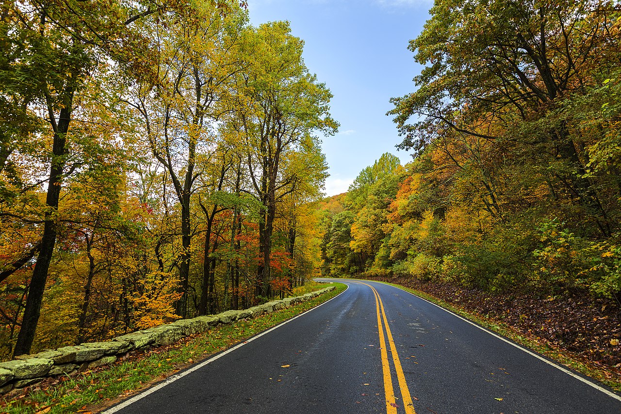
Getting ThereSuperbly positioned directly off the primary mountain highway spine at Milepost 50.7, just north of Big Meadows. Drivers can pull directly into the dedicated paved trailhead overlook lot. Spaces fill rapidly daily; arriving before 9:00 AM to secure a black-topped berth is highly advised.
Travel Tips
- This trail is highly deceptive: it is an easy all-downhill hike to the falls, but a grueling, relentless steep uphill return climbing 440 feet over just 0.7 miles. Pace yourself and prepare for multiple cardiorespiratory rest stops on the return climb.
- The rocks near the waterfall base are perpetually wet, mossy, and slick. Crossing safety signs to climb onto the mid-tier waterfall ledges is strictly prohibited; slip-and-fall accidents causing broken bones or drowning occur here annually.
- This is the most crowded trail in the park, and its small parking lot fills completely before 9:00 AM on weekends. The trail path is tight and narrow; per park federal regulations, pets of any kind are strictly banned from this trail.
Reviews
Positive
- Descending along the mossy stream, the multi-tiered cascading waterfall delivers strong visual impact with roaring water, truly the park's most beautiful water vista.
- The trail steps are sturdily built and signs are clear; benches and wooden decks are placed along steep sections for resting, offering great mountain-trail amenities.
- Rangers maintain safety alerts at the entrance, and slippery waterfall rock edges feature warning signs, ensuring solid order and safety management.
- As a very short waterfall route (1.4 miles round trip), you can embrace the pristine cascading falls in no time, offering high cost-effectiveness.
Heads up
- This is a 'sweet first, bitter later' route: entirely easy downhill going, but a grueling, steep continuous uphill return that leaves out-of-shape tourists exhausted.
- Due to its high fame and highway proximity, visitor density is the park's highest; narrow paths are constantly elbow-to-elbow, losing any serene glen atmosphere.
- Rock surfaces near the waterfall are extremely slippery year-round from mist; climbing is banned but tourists often ignore signs, showing a lack of on-site enforcement.
- Aside from roadside spots at the trailhead, the core viewing zone lacks any restrooms; needing a toilet requires hiking straight back up to the ridgetop visitor center.