
Narragansett Bay
4.3(15)google
BoatingFishingOutdoorOcean ViewFreeCoastIsland
Overview
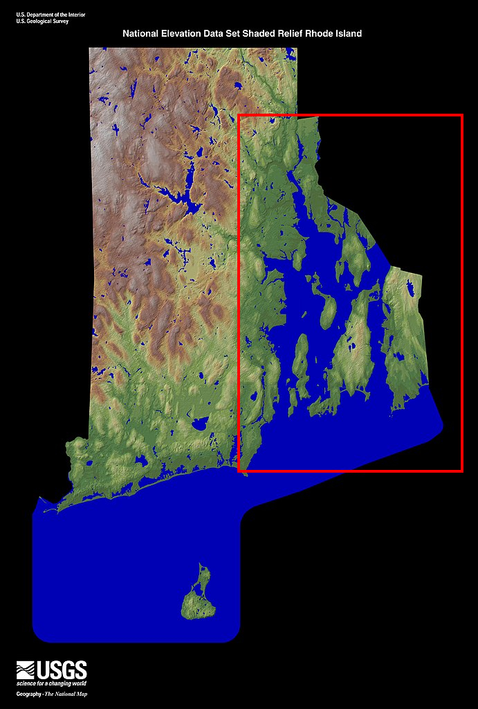
Narragansett Bay is a vast, beautiful natural estuary forming Rhode Island's defining geographical feature, functioning as a vibrant center for ecological and recreational activities. Covering over 140 square miles, this complex marine ecosystem encompasses dozens of islands, thousands of miles of scenic shoreline, and prosperous historic shipping ports. The bay is an absolute paradise for sailing, boating, kayaking, and sportfishing, while its nutrient-rich waters support diverse wildlife populations. Exploring the bay via a scenic cruise reveals historic lighthouses, defensive forts, and sweeping views of iconic suspension bridges.
Practical Info
Suggested Duration1-3 days
Best TimeThis vast, scenic saltwater bay is a year-round maritime marvel, peaking dynamically from June to September. The single absolute prime time to witness its scale is driving across the Jamestown-Newport Bridge at sunset between 6:30 PM and 8:00 PM; the setting sun turns the endless bay waters and sailing fleets into a glowing, copper-dipped canvas.
Getting ThereSpanning the vast geographic heart of Rhode Island. Exploring the bay is best met via a car: map out a road trip wrapping the coastal loops of RI-1A or RI-114 S. Major bridges like the Claiborne Pell Newport Bridge feature safe highway lanes, while shoreline towns offer dedicated seaside scenic overlooks designed for instant, safe pull-offs.
Travel Tips
- The bay contains high-density deepwater shipping channels utilized by container ships and naval vessels holding absolute right-of-way. Kayaks, paddleboards, and recreational craft must stay clear of primary navigation channels.
- The bay is prone to short-notice maritime storms; continuous monitoring of NOAA marine broadcasts is mandatory. Following heavy rainfall, Harmful Algae Blooms (HABs) trigger state-enforced bans on swimming and shellfish harvesting.
- The Claiborne Pell (Newport) Bridge over the bay utilizes 100% cashless electronic tolling. Traditional toll booths are gone; rental cars without an active E-ZPass transponder will incur steep administrative invoicing fees via automated plate readers.
Reviews
Positive
- Narragansett Bay carves through Rhode Island; hundreds of sails interweave with distant cable bridges, forming a magnificent nautical canvas.
- Many public vista parks line the bay, fully equipped with clean restrooms and clear paths that are highly accessible to wheelchair users.
- The cruise and yacht companies touring the bay are highly regulated, conducting strict safety briefings and life vest fitting with hearty service.
- This is a completely free natural crown jewel of Rhode Island; walking the shores to watch the sunset sink into the bay offers prime raw beauty.
Heads up
- The bay is massive and top vista points are located miles apart; if you don't drive, relying on public buses is completely unfeasible.
- Waterways near industrial yards or busy docks occasionally collect floating fuel slick and debris; water cleanliness drops after heavy storms.
- Commercial boat rentals and seafood cruises carry heavily inflated prices; some claiming 'America's Cup experiences' are tourist traps.
- Holiday evening bridge lookouts suffer heavy traffic bottlenecks; once-quiet coastal roads pack with idling cars and smelly exhaust fumes.