
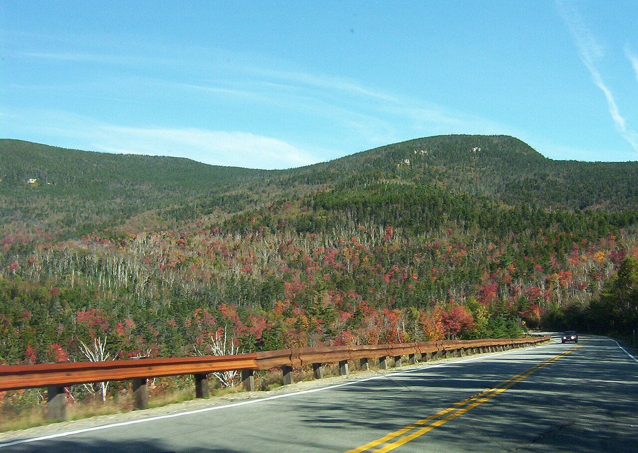
New Hampshire 112 (Kancamagus Highway)
4.8(43)yelp
Road TripScenic LookoutFamilyFall FoliageOutdoorPhotography SpotFreeMust-SeeLocal FavoriteMountainForestRiver
Overview
New Hampshire Route 112 (NH 112) is a 56.39-mile-long (90.75 km) east–west state highway in northern New Hampshire. The highway winds across the state, connecting Bath to Conway through the heart of the scenic and mountainous White Mountain National Forest. The eastern portion of NH 112 is known as the Kancamagus Highway, running 32 miles (51 km) through the White Mountains from Lincoln to Conway.
Practical Info
Suggested Duration3-6 hours
Best TimeLate September to mid-October during peak foliage is the untouchable crown jewel era along this 34.5-mile National Scenic Byway known as 'The Kanc'. Embark on your road trip early between 6:30 AM and 8:30 AM; morning fog clinging to the 2,855-foot Kancamagus Pass as the low sun shoots golden shafts straight through the maple canopy tunnel reveals world-class photography and escapes massive midday gridlock.
Getting ThereThe historic highway stretches west-to-east from Lincoln (I-93 Exit 32) to Conway (NH-16). Driving is the only method; the route is entirely devoid of commercial businesses or gas stations. Note: All wayside scenic pull-offs and trailheads require a valid US Forest Service day pass ($5 via self-service electronic kiosks positioned at major scenic overlooks).
Travel Tips
- This 34-mile mountain highway features zero fuel stations, zero streetlights, and complete cellular dead zones; filling your gas tank prior to entry is vital.
- Peak autumn foliage triggers severe gridlock through the mountain passes; scheduling your traverse prior to 07:00 is mandatory to bypass hours of delay.
- Severe winter blizzards trigger immediate, unannounced mountain gate closures; winter transit requires 4WD capability and certified snow tires.
Reviews
Positive
- Widely regarded as a premier American scenic byway, completely living up to the hype with zero commercial buildings or power lines to mar the views.
- The autumn foliage scenery is unparalleled, wrapping the entire highway in blazing red, yellow, and orange maple leaves for postcard-perfect views.
- Superb highway management featuring dozens of well-spaced scenic overlooks, historic pull-offs, and various hiking trails for all skill levels.
- Each major overlook and trailhead provides ample outdoor parking, clear informational signage, and surprisingly clean vault toilets.
Heads up
- During peak leaf-peaking season in early October, the highway turns into a massive parking lot with heavy traffic, turning a 40-minute drive into hours.
- Due to the deep wilderness, there is absolutely zero cell service along the 34-mile stretch, making emergency assistance difficult if you break down.
- There are no gas stations, convenience stores, or dining options along the road, forcing travelers to fully fuel up and pack supplies beforehand.
- While well-paved, some high-altitude segments feature steep grades and sharp hairpin turns that get icy in winter, requiring cautious driving.