
Spearfish Canyon Scenic Byway
4.9(24)google
4.7(26)yelp
HikingNatureOutdoorRoad Trip
Overview
The Spearfish Canyon Scenic Byway is a globally renowned 19-mile driving route that snakes along the floor of a spectacular limestone canyon in the northern Black Hills. This breathtaking highway is framed by towering, thousand-foot-tall stone cliffs covered in lush ponderosa pine, spruce, and aspen trees. The route provides motorists with convenient roadside turnouts to view dramatic waterfalls like Bridal Veil Falls, explore historic hiking paths, and experience incredible autumn colors that set the canyon ablaze.
Practical Info
Suggested Duration2-4 hours
Best TimeThis legendary 19-mile engineering marvel is widely celebrated as one of the premier fall foliage drives in the American West, peaking brilliantly from late September through early October. The definitive magic window to drive is a clear morning between 8:30 AM and 11:30 AM; sun rays plunge into the 1,000-foot sheer limestone walls, coloring the amber foliage brilliantly while granting you an uncrowded cruise.
Getting ThereThe scenic byway carries highway SD-14A (Spearfish Canyon Road), carving deep tunnels through the northern Black Hills hillsides between Spearfish and Lead, SD. Driving a private vehicle is strictly mandatory: simply steer south out of downtown Spearfish directly into the canyon portals; all major waterfall trailheads and overlooks feature free gravel roadside pull-off parking fields. No mass transit services operate here.
Travel Tips
- US-14A cutting through deep canyon geometry blocks satellite communication tracking networks instantly. During freeze-thaw spring patterns, cliff faces shed high-velocity rock debris; parking cars under signed failure-prone talus slopes is forbidden.
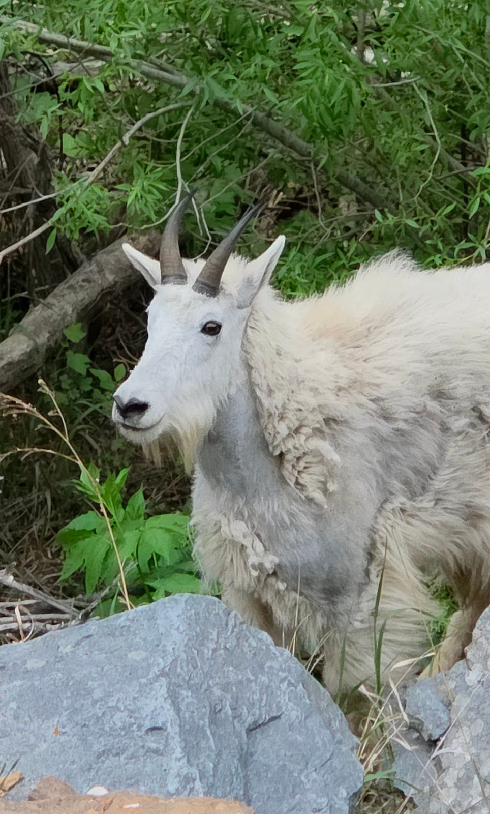
- The winding alignment forces an absolute 35 mph speed ceiling. The asphalt forms an active mineral salt-lick zone for protected Bighorn Sheep who loiter directly in blind apex radiuses; speeding triggers devastating direct front-end impacts.
- Peak leaf-peeping season running mid-September through early October triggers catastrophic throughput failure. Pullouts at Bridal Veil and Roughlock Falls saturate by 8:30 AM; executing illegal multi-point U-turns locks the entire highway loop.
Reviews
Positive
- The limestone cliffs and Bridal Veil Falls flanking this scenic byway deliver immense visual awe; the autumn foliage is genuine and pristine without any photo fraud.
- Key overlooks and trailheads feature well-maintained modern public restrooms, alongside thoroughly upkept multilingual ecological signs and paved accessible walkways.
- Park rangers and canyon resort staff are exceptionally welcoming; great order is maintained with highly explicit safety speed-reduction signs in wildlife zones.
- As a completely free national scenic byway, you get a premium driving experience without spending a dime on admission, making its value flawless.
Heads up
- The byway is narrow with sharp bends, elevating driving risks during autumn rushes or winter ice, which places immense stress on unexperienced drivers.
- Though main nodes are equipped, stretches across the 20-mile drive lack sufficient pullouts, sunshades, and trash bins, making infrastructure uneven.
- Its location in the northwest corner is far from Rapid City's main airport, and with zero public transit or shuttles, it's unreachable without a car.
- During peak October foliage weekends, vehicle density suffocates the canyon; free parking spots at famous falls are impossible to find, destroying the mountain quiet.